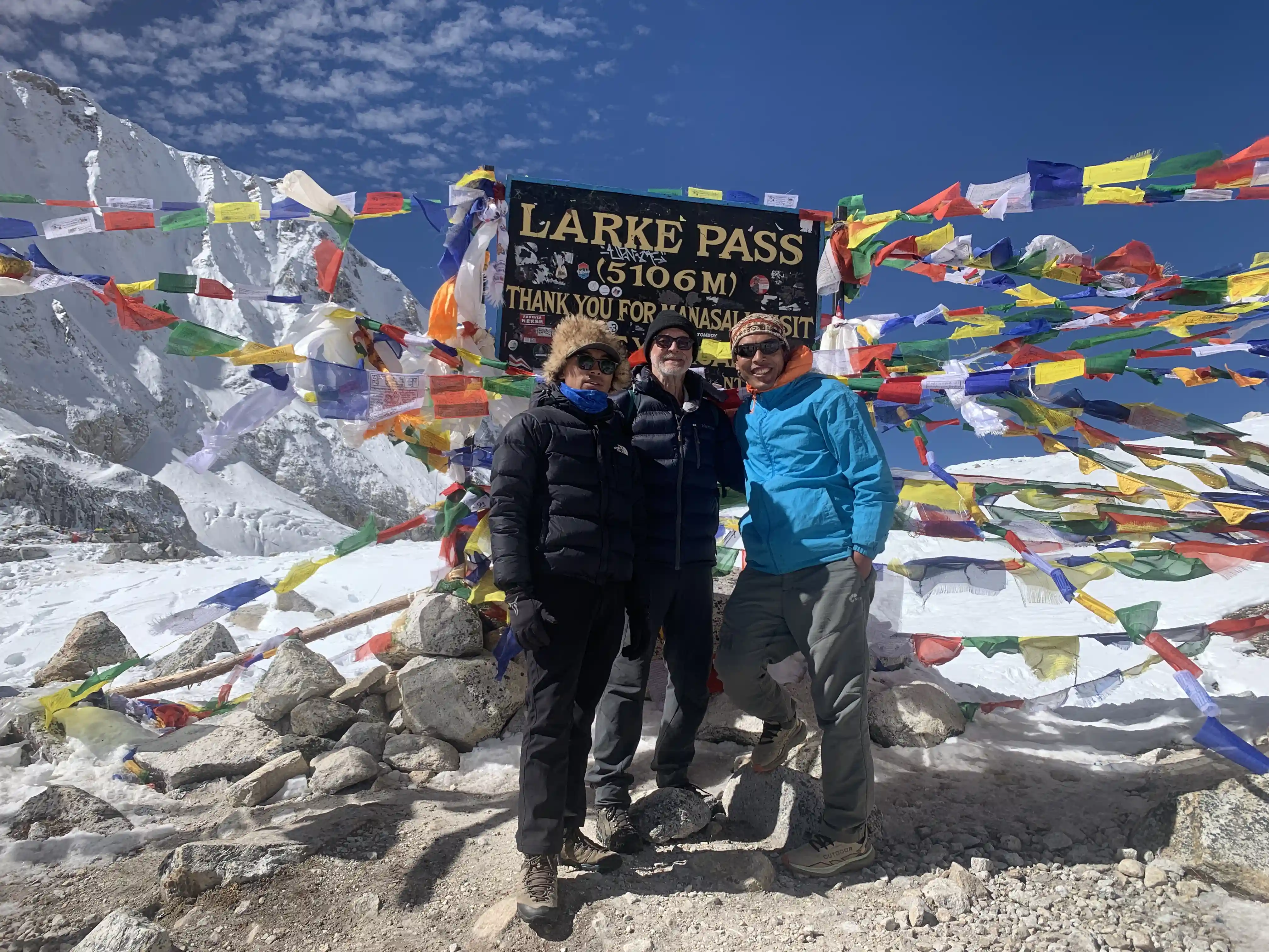
Manaslu Circuit Trek - 14 Days

Tour Info

trip code

EN-024

Starting Point/ End Point

Kathmandu

Accommodations

Lodge/ Tea House

Max Altitude

5106m (Larkya La Pass)

Duration

12 days

country

Nepal

Trip grade

Easy

Activities

Trekking

Best Season

February, March, April, May, June, September, October, November and December

Overview

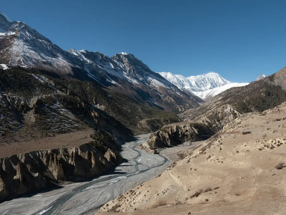
The Manaslu Circuit Trek is one of Nepal’s most famous trekking routes in the Gorkha District. This trek takes you around the majestic Manaslu, the eighth-highest mountain in the world. It offers a chance to see the natural beauty of the Himalayas and experience local culture. The trek shows local life, traditions, hospitality, different landscapes, from green forests to high mountain passes. You pass through villages like Dharapani, Bihi, Namrung, and Lho, known for apple farming. Key viewpoints include Lho (3,180 m), Syala (3,500 m), Samagaun (3,520 m), Manaslu Base Camp (4,800 m), and Larkya La Pass (5,160 m). From Syala valley, you can see Manaslu, Himalchuli, Ngadi Chuli, Ganesh Himal, and Annapurna II.

Details

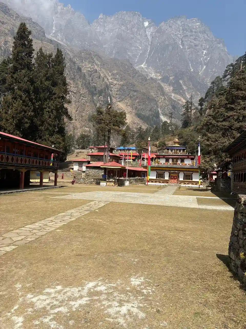
You should visit the Manaslu Circuit to experience a unique mix of culture, nature, and Himalayan life. This region has been home to local communities for generations, and you can see their traditional houses, mani walls, and Buddhist monasteries as you travel. People here still practice old ways of life, including farming, yak herding, and apple cultivation, which show how they live sustainably in the mountains. Visiting Manaslu gives you a chance to see daily routines, local festivals, and customs up close, offering a real insight into Himalayan culture.

The natural beauty of Manaslu is another reason to come. The area is full of wildlife, including Himalayan birds and red pandas, and forests of rhododendron and other native plants. The combination of wildlife, plants, and cultural sights makes it an enriching experience for anyone who enjoys learning about nature and human life together.

Manaslu Circuit is different from other busier trekking routes. The villages feel genuine, and the mountains remain largely untouched. You can enjoy clear views of high peaks, watch the local life up close, and feel connected to the Himalayan environment. Visiting here gives a mix of culture, nature, and adventure that is hard to find anywhere else in Nepal.
Highlights

  • You get clear views of Mt. Manaslu (8,163m) and other peaks like Himalchuli, Shringi Himal, Ngadi Chuli, and Ganesh Himal.

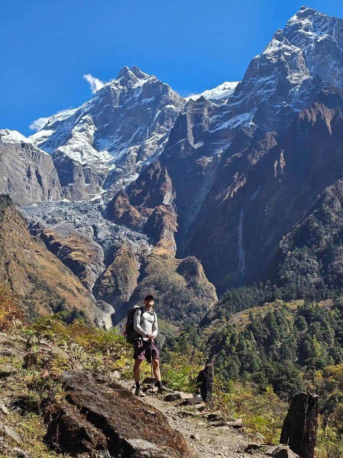
  • The main challenge of the trek is crossing the Larke Pass (5,160m), the highest point of the route.

  • Explore Gurung and Tibetan-style villages such as Jagat, Deng, Namrung, Lho, and Samagaun.

  • Optional hike to the Manaslu Base Camp viewpoint from Samagaun.

  • Stay in simple teahouses, where the environment is quiet and basic.

  • The route follows the Budhi Gandaki River, with several suspension bridges along the way.

  • Chance to see yaks, blue sheep, and different birds in the higher altitudes.

Itinerary

Day 01: Arrival in Kathmandu

You arrive in Kathmandu, the capital city of Nepal, and be welcomed by our representative at the airport. After the check-in process at your hotel, you can take some rest after a long flight or wander around the lively streets of Kathmandu, exploring places like Thamel, Durbar Marg, and Ason Bazaar. In the evening, enjoy a warm dinner and prepare for the trek starting the next day.

  • Max Elevation: 1,400 meters (Kathmandu)
  • Travel Distance: 6 to 8 kilometers
  • Travel Hours: 20 to 30 minutes
  • Accommodation: 3 star standard Hotel
  • Meal: Dinner

Day 02: Guided Full Day Tour

After breakfast at the hotel, your sightseeing tour starts around 8 AM. You can have a private vehicle for the whole day, making the trip comfortable and easy. A professional tour guide shall also be with you to explain the places you visit. The tour follows a simple schedule because it gives you enough time to explore each site without rushing, so you can move at a relaxed pace. You stop at several important heritage sites around the Kathmandu Valley. Each place has its own history and cultural value, which your guide helps you understand.

A. Pashupatinath (World Heritage Site):

Pashupatinath Temple is one of the most important Hindu temples dedicated to Lord Shiva. It stands on the banks of the Bagmati River. Non-Hindus cannot enter the main temple, but you can still see the temple complex and daily rituals clearly from the eastern side of the river. The temple has a two-tiered pagoda design and is well-known worldwide.

B. Boudhanath (World Heritage Site):

Boudhanath is one of the most sacred Buddhist sites in Kathmandu. Built in the 5th century, the large stupa has four pairs of Buddha’s eyes facing all directions, symbolizing awareness. You can see many Buddhist devotees walking around the stupa while rotating prayer wheels.

C. Patan Durbar Square (World Heritage Site):

Located in central Lalitpur, Patan Durbar Square showcases traditional Newari architecture at its finest. Many of its buildings were created during the Malla period, known for rich craftsmanship and art.

D. Swayambhu Stupa / Monkey Temple:

Located on a small hill, Swayambhu offers a wide view of the Kathmandu Valley. It is also called the Monkey Temple because many monkeys live around the stupa. This site is very important to both Buddhists and Hindus.

  • Max Elevation: 1,450 meters (Swayambhu Stupa, highest point in the Kathmandu sightseeing tour)
  • Travel Distance: 25 to 30 kilometers (total driving between sites)
  • Travel Hours: 6 to 7 hours
  • Accommodation: 3 Star Standard Hotel
  • Meal: Breakfast

Day 03: Drive from Kathmandu to Machha Khola(900m/2953 fts/155km)

You begin the journey with a full-day drive covering about 155 km in roughly 7 to 8 hours from Kathmandu toward Machha Khola.  Machha Khola is a small riverside village with basic lodges and shops, located in the Budhi Gandaki region. The road is mostly paved until Arughat and becomes rougher afterward. Along the way, you pass small towns, hillside settlements, and bridges.This is the last stop for the day before trekking starts tomorrow. You can rest, check your gear, and prepare for the first day of trekking.

  • Max Elevation: 900 meters (Machha Khola, the highest point between Kathmandu and Machha Khola)
  • Travel Distance: 155 kilometers
  • Travel Hours: 7 to 8 hours
  • Accommodation: Tea house/Lodge
  • Meals: Breakfast, Lunch and Dinner

Day 04: Trek from Machha khola to Jagat(1410m/4626ft)

Trek starts from Machha Khola towards Jagat along the Budhi Gandaki River. Jagat is a village with simple lodges and shops, and the walk covers around 20 km, usually taking 7 to 8 hours, as the trail rises slowly with small climbs. You pass Khorlabesi, Tatopani, and Dobhan. It is also the entry point for the Manaslu Conservation Area. You register at the check post before continuing higher. The village provides basic facilities and is the first overnight stop on the trek.

  • Max Elevation: 1,410 meters (Jagat, the highest point between Machha Khola and Jagat)
  • Travel Distance: 20 kilometers
  • Travel Hours: 7 to 8 hours
  • Accommodation: Tea house/Lodge
  • Meals: Breakfast,Lunch and Dinner

Day 05: Trek from Jagat to Deng (1804m/5919ft)

From Jagat, the trail rises gently to Deng, you pass small settlements and open areas. Deng is a quiet village with tea houses and lodges. The distance is about 20 km, and it takes you around 7 to 8 hours to reach Deng. It is surrounded by trees and houses. Deng stops you to help to adjust in the altitude before going higher.

  • Max Elevation: 1,804 meters (Deng, the highest point between Jagat and Deng)
  • Travel Distance: 20 kilometers
  • Travel Hours: 7 to 8 hours
  • Accommodation: Tea house/Lodge
  • Meals: Breakfast,Lunch and Dinner

Day 06: Trek from Deng to Namrung(2630m/8629ft)

The trail continues upward toward Namrung from Deng; you pass small houses and fields along the path. Walk from Deng to Namrung covers about 19.4 km, taking 7 to 8 hours to reach, and it is a larger village with more houses and shops. Peaks such as Manaslu and other surrounding mountains become more visible from this point. The path gradually ascends, allowing you to adjust to the higher altitude. This day combines walking with observing local culture and nearby mountains while moving steadily to the next village.

  • Max Elevation:  2,630 meters (Namrung, the highest point between Deng and Namrung)
  • Travel Distance:  19.4 kilometers
  • Travel Hours: 7 to 8 hours
  • Accommodation: Tea house/Lodge
  • Meals: Breakfast,Lunch and Dinner

Day 07: Trek from Namrung to Lho Village (3180/10433fts/10.5km/6.5mile)

Leaving Namrung, the path rises toward Lho Village, you trek through Chumling and the lower parts of Lho while climbing slowly. Lho is a small village with flat areas suitable for resting, and you have to cover around 8.1 km in about 4 to 5 hours to reach there. Trees become fewer, and open areas with grass and rocks appear. Peaks such as Manaslu can be seen clearly from Namrung. The trail helps trekkers prepare for the higher sections ahead. You notice changes in land and local life while walking continuously. This part introduces the higher altitude environment and local village culture.

  • Max Elevation: 3,180 meters (Lho Village, the highest point between Namrung and Lho)
  • Travel Distance: 10.5 kilometers
  • Travel Hours: 4 to 5 hours
  • Accommodation: Tea house/Lodge
  • Meals: Breakfast,Lunch and Dinner

Day 08: Trek from Lho village to Samagaon (3530m/11582 fts/8.1km/5 mile)

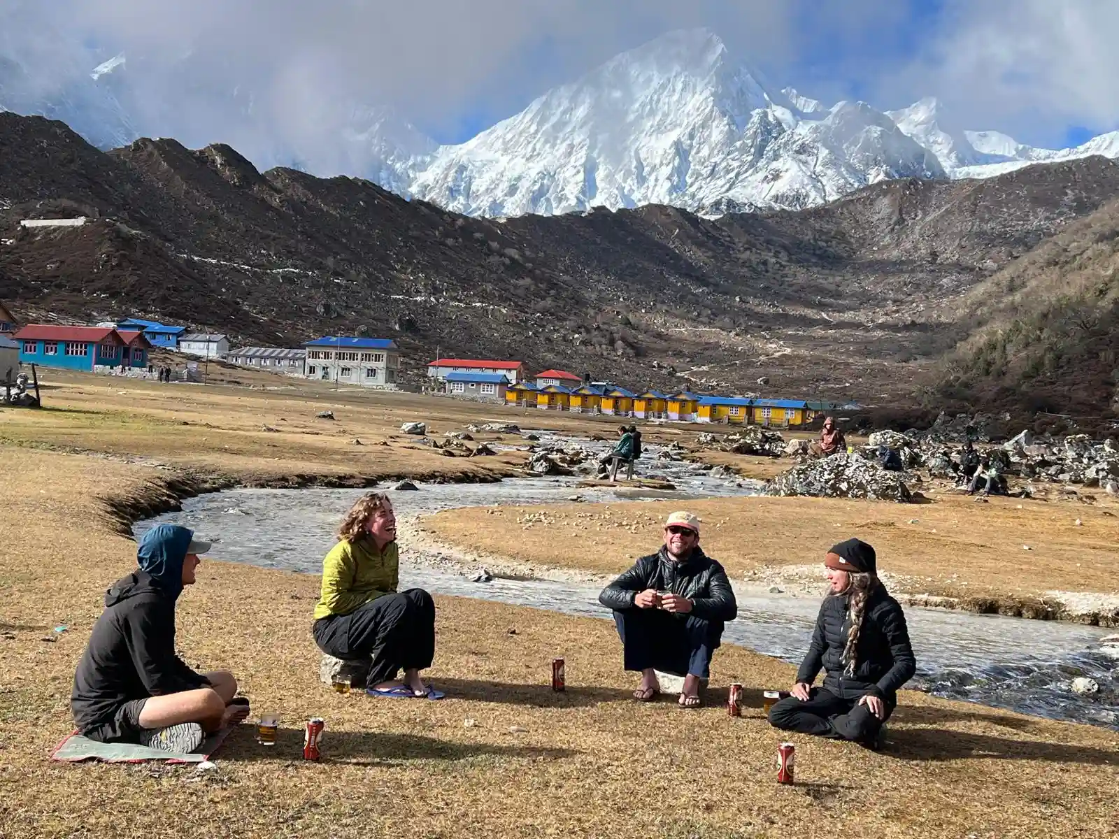
The trail takes you from Lho Village to Samagaon with a gentle climb, open fields and yak grazing areas. It takes you around 8.1 km in about 4 to 5 hours to reach Samagaon from Lho village. Samagaon is larger and closer to high-altitude areas, and from there surrounding mountains, including Manaslu and Ngadi Chuli, are visible. By now trees are mostly gone, the land is rocky, and the path is clear and steady, allowing observation of the mountains and local villages. As the altitude rises, you need to walk slowly and carefully.

  • Max Elevation: 3,530 meters (Samagaon, the highest point between Lho Village and Samagaon)
  • Travel Distance: 8.1 kilometers
  • Travel Hours: 4 to 5 hours
  • Accommodation: Tea house/Lodge
  • Meals: Breakfast,Lunch and Dinner

Day 09: Acclimatization day and detour to Manaslu base camp(4800m/15749ft)

The activity done on this day is a short trek from Samagaon to Manaslu Base Camp, reaching up to 4800m, which usually takes 6 to 7 hours for the round trip.  Manaslu base camp is surrounded by high peaks like Manaslu and Himalchuli, and the path rises gradually through rocks and glacial areas. This detour allows you to adjust to higher altitude while observing glaciers and snow fields. Returning to Samagaon, you get a clear view of nearby mountains, and trekking slowly helps you in acclimatization. You can trek slowly to adjust to the air and observe the high mountains and local paths.

  • Max Elevation: 4,800 meters (Manaslu Base Camp, the highest point between Samagaon and Manaslu Base Camp)
  • Travel Distance: 14 kilometers (round trip)
  • Travel Hours: 6 to 7 hours
  • Accommodation: Tea house/Lodge
  • Meals: Breakfast,Lunch and Dinner

Day 10: Trek from Samagaon to Samdo (3860m/12665fts/8.1km/5.03mile)

From Samagaon, the trail goes upward toward Samdo covering around 8.1 km in and around 3 to 4 hours. Samdo is a small village before the high pass, and peaks like Manaslu, Manaslu South, and Naike can be seen clearly. You pass small fields and a few houses, and the trees are almost gone. The path is rocky and rises slowly, preparing you for the Larkya La pass. You need to walk slowly to allow your body to adjust to thinner air. The day offers views of high-altitude landscapes, distant mountains, and local culture along the trail.

  • Max Elevation: 3,860 meters (Samdo, the highest point between Samagaon and Samdo)
  • Travel Distance: 8.1 kilometers
  • Travel Hours: 3 to 4 hours
  • Accommodation: Tea house/Lodge
  • Meals: Breakfast,Lunch and Dinner

Day 11: Trek from Samdo to Dharamshala(4460m/14633fts/6.6km/4.10mile)

The route ascends from Samdo to Dharamshala, which takes you around 4 to 5 hours to cover 6.6 km. Dharamshala is a resting point before the Larkya La pass, and vegetation is very limited here. You get a chance to see peaks including Manaslu, Ngadi Chuli, and Himalchuli. The climb is gradual but noticeable at this high altitude. Walking slowly helps you to adjust to the air, as this section prepares you for the pass ahead and provides clear views of surrounding high mountains and open slopes.

  • Max Elevation: 4,460 meters (Dharamshala, the highest point between Samdo and Dharamshala)
  • Travel Distance: 6.6 kilometers
  • Travel Hours: 4 to 5 hours
  • Accommodation: Tea house/Lodge
  • Meals: Breakfast,Lunch and Dinner

Day 12: Trek to Bhimthang via Larkya La pass (5106m/16752fts,24.5km/15.22mile)

Starting early from Dharamshala for Bhimthang via Larkya La Pass, the path ascends to the highest point at Larkya La Pass. You have to trek around 24.5 km, which usually takes you 4 to 5 hours to reach there. The pass reaches 5106 meters and offers views of Manaslu, Himalchuli, and Cheo Himal. After crossing, the trail descends toward Bhimthang. The trek covers rocks, slopes, and some snow. This is the most challenging day because of the high altitude and long distance. Bhimthang provides open areas to rest and observe surrounding peaks.

  • Max Elevation: 5,106 meters (Larkya La Pass, the highest point between Dharamshala and Bhimthang)
  • Travel Distance: 24.5 kilometers
  • Travel Hours: 10 to 11 hours
  • Accommodation: Tea house/Lodge
  • Meals: Breakfast, Lunch and Dinner

Day 13: Trek from Bhimthang to Goa village /Tilche(2300/7546 fts)

The trail descends from Bhimthang toward Goa and Tilche. To reach there you need to trek around 26 km, which takes you 6 to 7 hours. Peaks like Cheo Himal and Naike are visible in the distance during the trek. The path passes through houses, and trees start to appear as altitude decreases. The trek is steady, connecting high pastures with lower villages. You get to observe the mountain landscape while you are returning to lower altitude. Trekking continues at a simple and steady pace along the clear path.

  • Max Elevation: 3,720 meters (Bhimthang, the highest point between Bhimthang and Goa Village/Tilche)
  • Travel Distance: 26 kilometers
  • Travel Hours: 6 to 7 hours
  • Accommodation: Tea house/Lodge
  • Meals: Breakfast,Lunch and Dinner

Day 14: Trek to Dharapani, Drive to Kathmandu and Pokhara

The final day leads from Tilche to Dharapani, and from there you have to drive back to Kathmandu or Pokhara. The drive goes downward through forests and small villages, covering around 215 km and taking 9 to 10 hours to reach. Mountains become smaller as elevation decreases. Dharapani is the junction to main roads connecting to Kathmandu or Pokhara. Trekking continues at a gentle pace through villages and farmland. This completes the Manaslu Circuit Trek. You get to observe the change from high mountains to lower valleys. The path is clear, and the final walk gradually transitions from high-altitude mountain views to green hills and villages below.

  • Max Elevation: 1,860 meters (Dharapani, the highest point between Tilche and Dharapani)
  • Travel Distance: 215 kilometers to Kathmandu and 133 kilometers to Pokhara
  • Travel Hours: 1.5 to 2 hours trekking and 9 to 10 hours drive
  • Accommodation: Tea house/Lodge
  • Meals: Breakfast,Lunch and Dinner

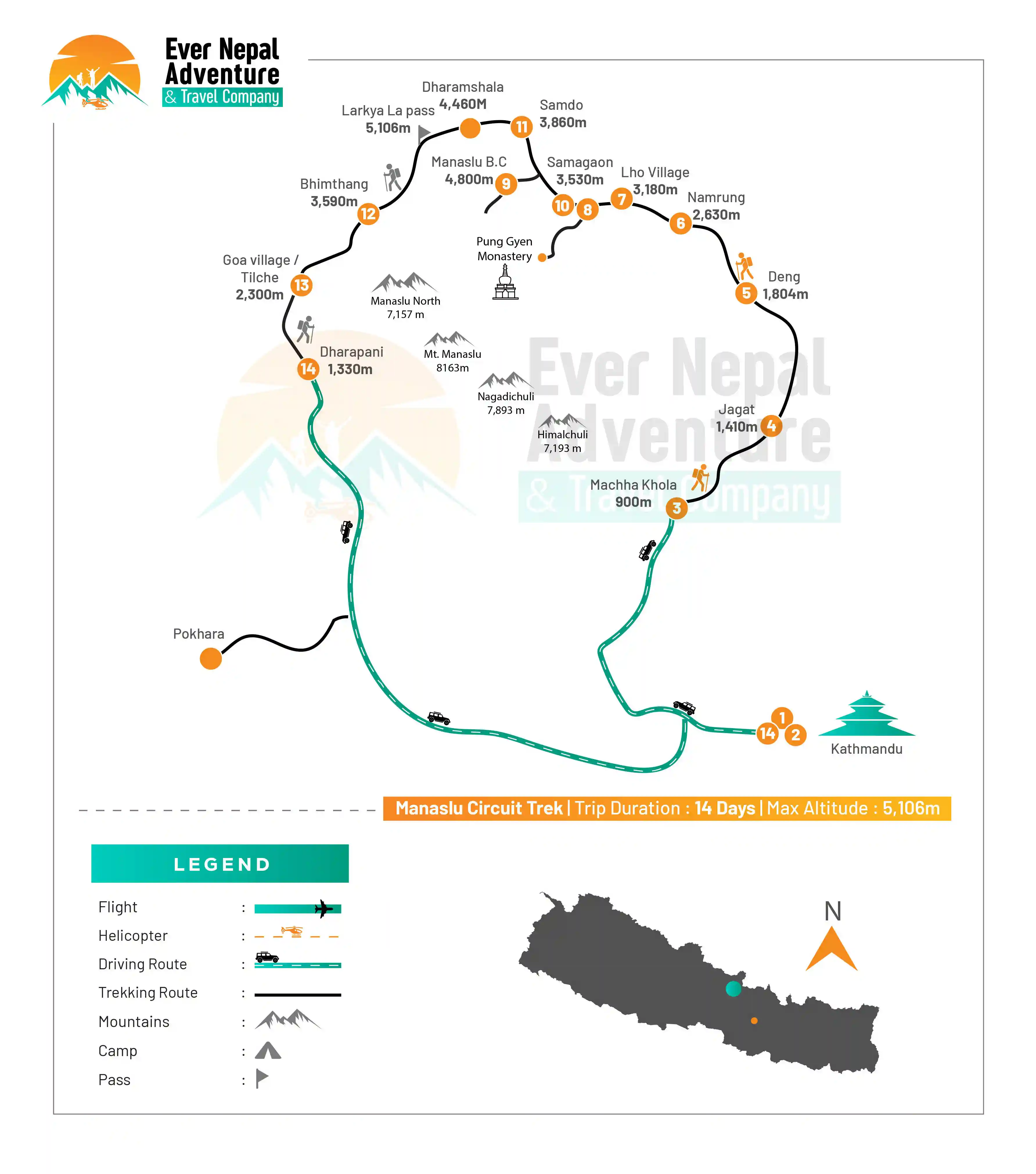
Trek Route

Manaslu Circuit Trek Route Map | Ever Nepal

What's included

  • Two nights hotel stay in Kathmandu and one night in Pokhara inclusive of breakfast

  • Any transfer to and from airports, hotels and busparks

  • All the trek meals (breakfast, lunch, and dinner) including tea or coffee

  • Comfortable and family-friendly tea house or lodging accommodation during the trek

  • Local or tourist transportation from Kathmandu

  • Certified English speaking trekking guide

  • Salary, meals, insurance, accommodation and necessary trekking equipment of Guide

  • Extensive first aid kit supplied by the guide

  • All the trekking permits (ACAP and TIMS) and the paperwork

  • Any government tax, local charges, and government service fees

  • The trek concludes in Kathmandu with a farewell dinner

What's excluded

  • Flights within and outside the country

  • Nepal entry visa fees

  • Medical insurance and travel insurance

  • Personal costs like snacks, drinks, laundry, phone calls and hot showers

  • Individual walking equipment and clothing

  • Extra accommodation or meals at Pokhara

  • Emergency expenses such as evacuation by helicopters or medical rescue

  • Sightseeing fees in Kathmandu and Pokhara

  • Additional guide and porter tips

Packing List for Manaslu Circuit Trek

For those who plan on performing the Manaslu Circuit Trek, it would be wise to pack their trekking gear properly, as this will serve as an advantage for safety and convenience when it comes to the tough environment of the Himalayas. Smart packing will help you cope with the varying climate, walking hours, and terrain. Here are some important things you must have:

  • Head

    • Wide-brim sun hat

    • Warm wool beanie

    • Lightweight headlamp with extra batteries

    • UV-protected sunglasses

    • Neck gaiter or buff

    • High SPF sunscreen

    • Lip balm with SPF

  • Hands

    • Waterproof gloves

    • Insulated winter gloves

  • Upper Body

    • Thermal base layers

    • Fleece jacket

    • Insulated down jacket

    • Waterproof/windproof jacket

    • Quick-dry t-shirts (3–5)

    • Long sleeve trekking shirts

  • Lower Body

    • Trekking pants (2–3 pairs)

    • Thermal innerwear

    • Fleece trousers

    • Waterproof pants

    • Comfortable casual pants

  • Footwear

    • Waterproof trekking boots (well broken-in)

    • Lightweight sandals for teahouse use

    • Wool trekking socks (4–6 pairs)

    • Gaiters for snow/mud sections

  • Toiletries

    • Toothbrush & toothpaste

    • Soap and shampoo (travel size)

    • Toilet paper & wet wipes

    • Quick-dry towel

    • Hand sanitizer

  • Accessories

    • Trekking poles

    • Sleeping bag (-10°C to -20°C)

    • Large duffle bag

    • Daypack (20–30L)

    • Water bottle/hydration system

    • Water purification tablets/filter

  • First Aid Kit

    • Diamox (altitude sickness)

    • Painkillers

    • Bandages & antiseptic wipes

    • Anti-diarrhea medicine

    • Blister care kit

    • Personal medicines

  • Miscellaneous Items

    • Power bank

    • Camera/phone

    • Extra batteries & memory cards

    • Travel adapter

    • Binoculars

  • Specific Gears for Women

While on the trek, there are certain essentials that women must carry in order to complete the journey successfully. Having these gears ensures comfort, hygiene, and protection throughout the trek in changing weather and altitude conditions.

  • Sports bras (comfortable and breathable)

  • Sanitary pads or tampons

  • Thermal innerwear set

  • Lightweight trekking leggings

  • Extra undergarments

  • Personal hygiene kit

  • Travel-size skincare items

  • Hair ties and headband

Documents Required for Manaslu Circuit Trek

In order to have a successful journey in the Manaslu region, it is essential that one must possess all the necessary permits and documents. These documents are very carefully inspected at various checkpoints as the region is protected and restricted.

  • Manaslu Restricted Area Permit (RAP): A mandatory special permit required to enter the restricted areas of Tsum Valley and the Manaslu region. This permit is issued only through a registered trekking agency in Nepal.

  • Manaslu Conservation Area Permit (MCAP): A required entry permit for accessing the Manaslu Conservation Area. It supports the protection of the region’s natural environment, wildlife, and trekking trails.

  • Annapurna Conservation Area Permit (ACAP): This permit is necessary for the final section of the trek as the route exits through the Annapurna Conservation Area. It helps fund conservation and trail maintenance in the region.

  • TIMS Card (Trekkers Information Management System): A registration card used for trekker safety and tracking. It helps authorities and trekking agencies monitor trekkers and respond in case of emergencies.

  • Valid Passport: Your passport must be valid for at least six months from your date of entry into Nepal. It is required for permit processing and identification throughout the trek.

  • Passport-size Photos (4–6 copies): Recent passport-sized photographs are needed to obtain trekking permits and complete other official documentation. Carrying a few extra copies is always useful.

  • Travel Insurance: Comprehensive travel insurance is essential and must include coverage for high-altitude trekking and emergency helicopter evacuation. It provides financial protection in case of illness, injury, or unexpected emergencies during the trek.

Frequently Asked Questions

How difficult is the Manaslu Circuit Trek?

The Manaslu Circuit trek has earned its reputation as a challenging trek because it involves numerous hours of trekking, high altitudes, and crossing of Larkya La Pass. If you prepare physically, then there is no doubt that you will be able to make it.

Do I need prior trekking experience?

Previous trekking experience is not necessary, but is very much advised. While trekking, you have to cover long distances on foot over several days, and at great heights as well; therefore, fitness and readiness play an important role.

Is altitude sickness a concern on this trek?

Yes, altitude sickness can be an issue as the elevation increases beyond 5,000 meters in Larkya La Pass. It is crucial to have enough acclimatization days in Samagaon and Samdo, walk slowly, stay hydrated, and get adequate rest.

Is the Manaslu Circuit crowded?

It is not. The Manaslu Circuit is a restricted trekking area, much quieter than Everest or Annapurna. It gives trekkers the chance to explore a place that is more natural and unspoiled than other parts of the Himalayas.

What makes the Manaslu Circuit Trek special?

This trek is unlike any other trek because it involves the challenging topography of the Himalayas, Tibetan heritage, exotic fauna, and impressive mountain ranges. The highlight of this trek is traversing the Larkya Pass, which is one of the most scenic passes in Nepal.

What is the best season for the Manaslu Circuit Trek?

The appropriate time for conducting the Manaslu Circuit Trek would be in the spring season (March–May) and autumn season (September–November). This is because the weather would be favorable since it would be stable, clear skies, and excellent views of the mountains.

What kind of accommodation is available during the trek?

For accommodation during the Manaslu Circuit Trek, tea houses or mountain lodges are common choices. They offer simple and comfortable accommodations that have twin beds and shared bathrooms. You can also get an opportunity to interact with the local people through their hospitality while staying in such lodges.

What type of food is available on the trek?

The tea shops located by the way offer different varieties of freshly cooked foods like dal bhat, noodles, soups, rice, veggies, eggs, and pasta. The food is healthy and is cooked with the intention of giving enough energy during the whole day of trekking. The higher one climbs, the more restricted the food menu gets.

Do I need a guide and permits for the Manaslu Circuit Trek?

Certainly, the Manaslu Circuit Trek passes through a restricted zone; therefore, you have to be guided by an authorized guide. There are various types of permits that you have to get, such as the Manaslu Restricted Area Permit (RAP), Manaslu Conservation Area Permit (MCAP), and Annapurna Conservation Area Permit (ACAP).

How long does the Manaslu Circuit Trek take?

The average duration of the Manaslu Circuit Trek usually falls within 12 to 14 days. But most individuals spend 14 days for the same as they need to take time for acclimatization before crossing the challenging Larkya La Pass that stands tall at 5,106 meters above sea level.

User Review